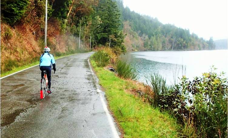
The way I used to tell the story of how I started bike commuting, it was an infrastructure story: I started riding because the city put a bike lane in front of my house. Short, sweet, simple — and grossly oversimplified.
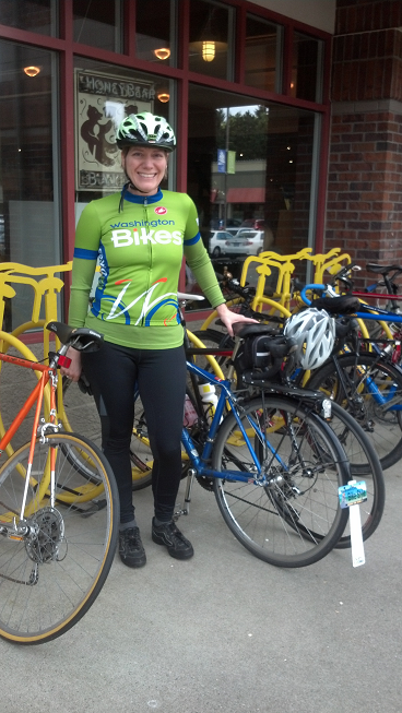
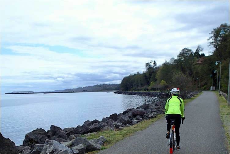
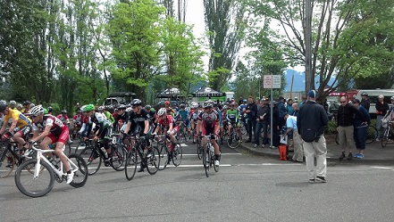
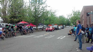
Riding my bike at the official opening of Martin Luther King, Jr. Way in Spokane. The city’s official plans for the opening didn’t involve bikes but when I started rolling and headed past the police officers who were there, no one challenged me. That’s privilege. If you could jump into an official event with the mayor and have no one question you, you have it too.
Infrastructure Does Matter
Granted, infrastructure and other visual cues are incredibly important tools to build bicycling — perhaps more so for women than for men because of the greater attentiveness to possible risk that shows up in studies of women across many realms.
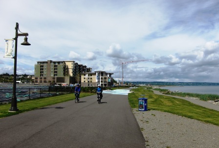
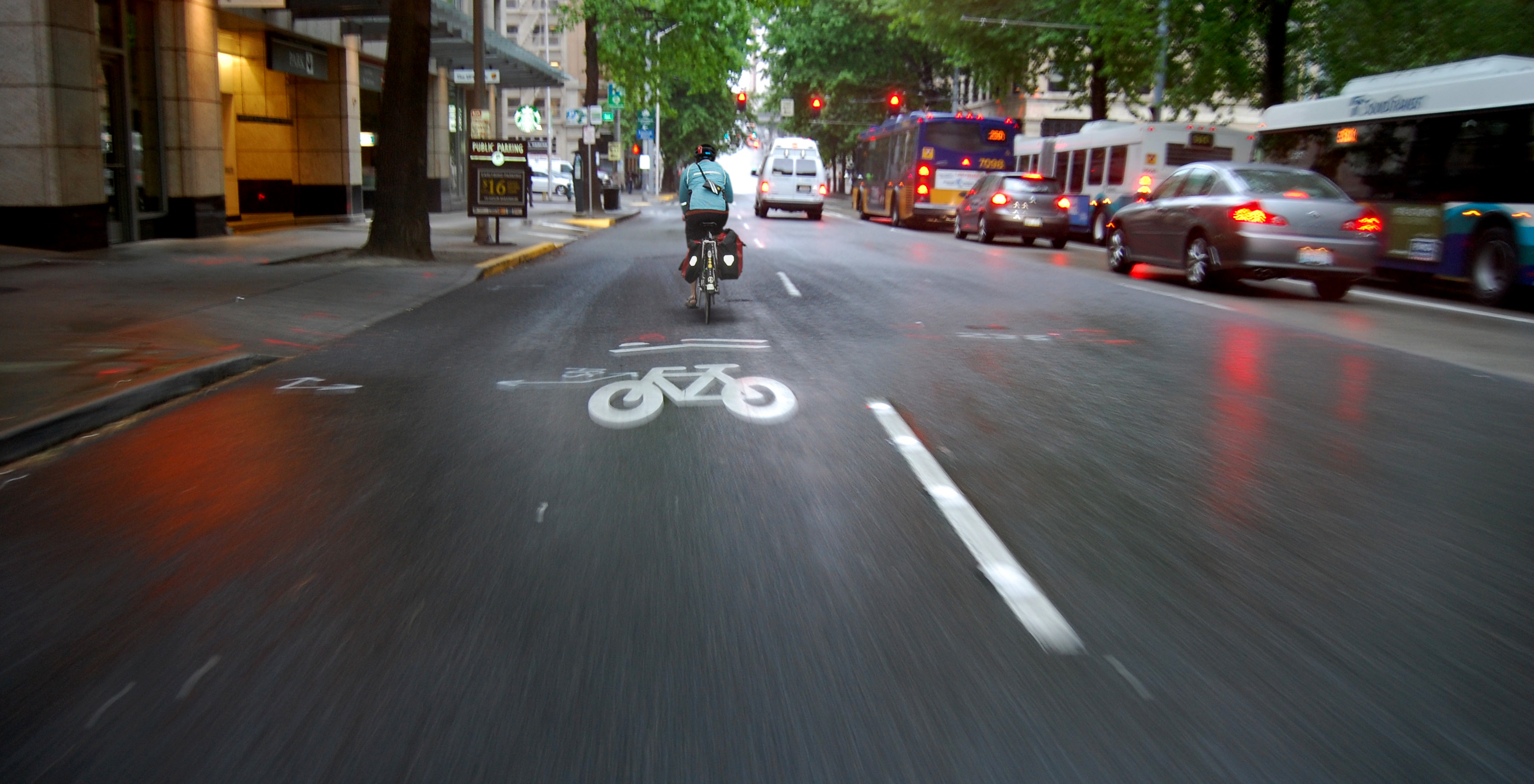
The bike lane certainly worked to suggest the idea. I bought my house on a bus line to provide transit access, I had walked the 3.5 miles to work a few times, and I occasionally rode my bike for fun on weekends. The bike lane cued me to put all that together and try biking to work. Infrastructure does matter to help people start biking on city streets.
But when I started unpacking the invisible bag that I carry with me through life I found many other factors beyond infrastructure that made it possible for me to get on two wheels and stay there.
[Tweet “More than bike lanes: Privilege plays a role in bicycling we don’t often acknowledge. #bikes4all”]
Privilege Matters
If this seems like a really long list, that’s the point. If you hold privilege in this world you take a lot of things for granted that others don’t have. They can’t get the same things without thinking about it and working to overcome barriers you’ll never notice because they don’t exist for you. (You don’t need to feel guilty — it’s not that you deliberately set up this system — but you do need to do something about it.)
A list of the advantages I have thanks to privilege (primarily arising from my race and socioeconomic status) that made it possible for me to start bike commuting:
- I already owned a working bike. Simple, right? But the #1 reason people don’t ride a bike is that they don’t own one.
- In some cities a community bike shop like Pedals2People in Spokane or The Recyclery in Port Townsend makes it possible for people to learn how to build and maintain their own bikes but that wouldn’t have interested me at the time I started riding.
- I knew how to ride a bike because my parents taught me when I was a little kid — when I also had bikes that they provided for me, moving me up to bigger bikes as I grew so I went from tricycle to banana bike to 10-speed.
- We learn a lot of our outdoor activities from our families, whether it’s riding a bike, cleaning a fish, going camping, or finding the North Star. If your parents don’t ride a bike, odds are good they didn’t make sure you learned how.
- Physically, I was completely capable of riding a bike, with no disabilities that would prevent me from riding or make it difficult (and more expensive) to find a special bike.
- I’m of average size so if I wanted to purchase any bike-specific clothing it would be easy to find it at a local bike shop, and I’m not so large that I would require a special bike built to hold my weight or fit my height.
- I am of the predominant skin color in my community. Should anything happen along my route, I could count on law enforcement to be reasonably accepting of my explanation of what happened. I’m the same skin color as most (probably almost all) of the officers I might encounter.
- I speak the dominant language of American culture so all the signs are in my native language, all the materials in the traffic skills course I took later were in my language with no translation required, and I could rely on my language being spoken by almost 100% of the people I would encounter along the way if I needed to ask for help or directions.
- I lived close enough to work that a ride was pretty simple, because I hadn’t purchased a house in the “drive until you qualify” outskirts and suburbs.
- I had chosen that house specifically for its location on a transit line so I had a fallback transportation option available.
- I felt confident enough about my personal safety along the route between home and work that I wasn’t afraid to set off that first day. This goes back to my financial ability to purchase a nice home in a good neighborhood.
- I had the ultimate fallback: A partner with a motor vehicle who would come pick me up if anything went really wrong, and a cell phone to place that call immediately.
- I’m married to a man. Even with the passage of marriage equality in Washington, referring to “my husband” as a woman means I fit into the mainstream assumptions about gender roles. If I’m talking to a police officer after an incident and say I need to call my husband, I don’t need to worry about what the officer might be thinking and how that will affect my treatment. (No offense intended toward hard-working police officers — just addressing the possibility of inherent biases.)
- I worked in an executive-level position with enough flexibility that if I ended up 15 minutes late to work because I had to fix a flat, I wouldn’t get fired. Everyone would accept my apologies and take my explanation at face value, not question it as something indicative of a fundamental character flaw.
- In fact, my employer at the time I started riding (WSU Spokane) took part in Commute Trip Reduction, had a guaranteed ride home program, and gave me a reduction in the cost of my parking pass for every day that I rode my bike, took the bus, or walked to work (a funny incentive system when you think about it, but still).
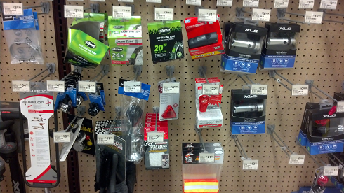
- If anything went wrong with the bike, thanks to that job I had the resources to pay for gear and repairs, a good thing too since at that time I lacked the ability to so much as fix a flat tire. I could afford bike gear such as a headlight (required by law) and a better bike when I was ready for it. This became particularly important when I had two different bikes stolen; I could replace them.
- I already had a regular exercise habit (yoga). Getting on a bike did not mean stepping very far outside my normal range of exertion, as I was already reasonably fit.
- You may not think of an exercise habit as a form of privilege, but consider that I had both leisure time and money that enabled me to take classes in the activity of my choice and my kids were old enough that I didn’t need to ensure they were directly supervised. I wasn’t working two or three jobs to feed my kids. (When I was a divorced mom with a baby and a toddler working as a freelance editor and eating a lot of ramen, I wasn’t going to yoga studios.)
- I had personal motivations for riding like environmental concerns and personal health that are highly correlated with educational attainment, and I had two bachelor’s degrees, a master’s degree, and some doctoral-level coursework then under way.
The Sixth E: Equity
When Washington ranks as the #1 Bicycle Friendly State in the US (a spot we’ve held 7 years in a row), it’s based on the League of American Bicyclists system of looking at 5 Es: Education, Encouragement, Engineering, Enforcement, and Evaluation.
In our office and in the offices of many bicycle advocates across the country you’ll hear discussion of another E: Equity. The League has an Equity Initiative led by Dr. Adonia Lugo, whose research into Seattle bike justice was supported by Bike Works and WA Bikes.
In your city, in our state, and in our nation, we need to examine our transportation systems through an equity lens to see the effects of disparate access to many kinds of resources. Owning and driving a car has long been a symbol of personal financial success — how about looking at access to everything it takes to ride a bike?
[Tweet “We need to examine our transportation systems through an equity lens. #bicycling #bikes4all”]
Stay in Touch with WA Bikes Work on all the Es
Related Reading
- Dr. Martin Luther King Jr.’s Legacy and Bicycling: How Do We Build a Coalition for Bicycle Justice?
- Bike Equity Resources
- Becoming a Bike Commuter, Part I: It’s Easy, One Mile at a Time
- Becoming a Bike Commuter, Part II: A Few More Miles
Your Turn
- Have you ever thought about the barriers — and lack of barriers — that made a difference in your decision to ride?
- Can you do anything to decrease the barriers for someone else to make it possible for her or him to consider riding?
- What am I missing on my list of the ways that privilege enabled me to start bicycling? I continue to learn about it and I’m sure I don’t see every form of it that benefits me.
[Tweet “After reading this I’m pledging to work on bike equity. RT if you believe in #bikes4all”]
In September 2012, about a month or so after I became the executive director at Washington Bikes, I delivered the keynote address at a conference in Tacoma on Equity and Health in Transportation, put on by the Seattle-King County Public Health District. I wrote a post on my personal bike blog, Bike Style Life, to capture some of the story I told in that speech. This is an updated version of that post.